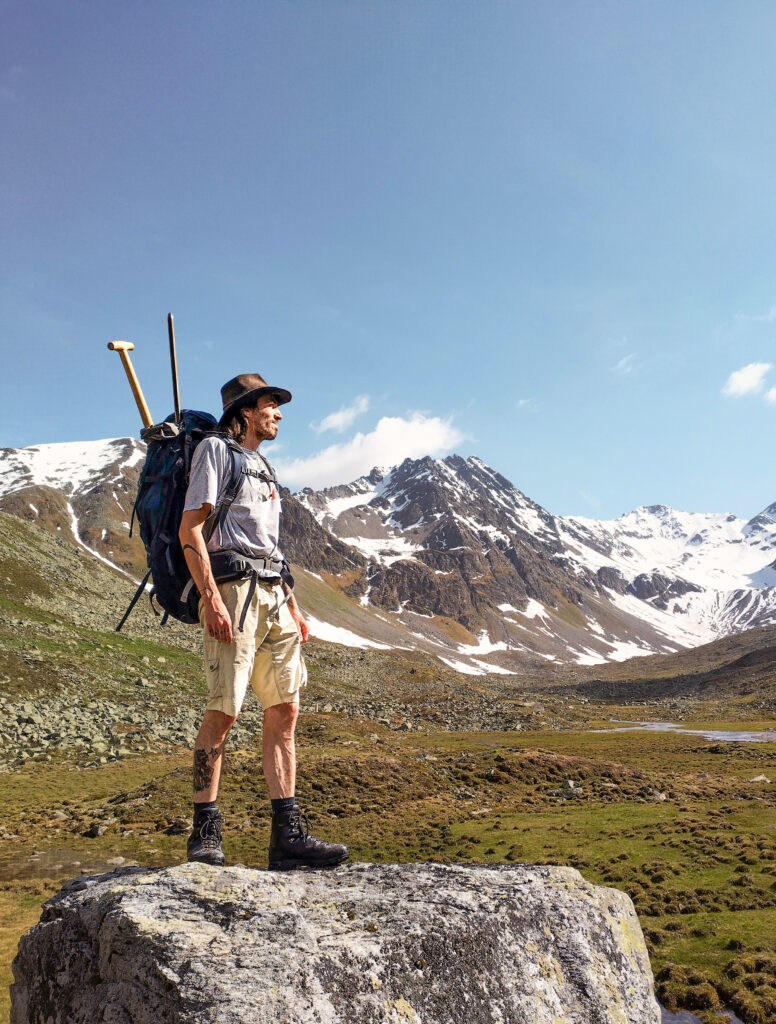
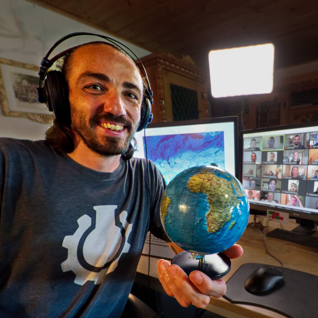
My name is Stephan and I love GIS!

After an apprenticeship as a production technician and spending a year in the USA (foreign civil service), I began my academic education at the University of Natural Resources and Life Sciences (BOKU) in Vienna in 2013.
At BOKU, I discovered my talent and joy for GIS right at the beginning of my studies in Landscape Planning and Landscape Architecture.
I spent a large part of my time at university as a tutor for GIS courses, and after graduating in 2021, I was employed as a lecturer for various GIS courses at BOKU for two years.
In addition to GIS, I was also able to further develop my love of nature and conservation at university. During my Master’s degree, I focused particularly on this area and after graduating, I worked for two years in an office for nature conservation.
I have been combining these two passions – GIS and nature conservation – in my one-man business LiberGIS since 2024. I really enjoy mastering new challenges with GIS and my goal is to use my skills in order to make a contribution to nature conservation!
Me and LiberGIS
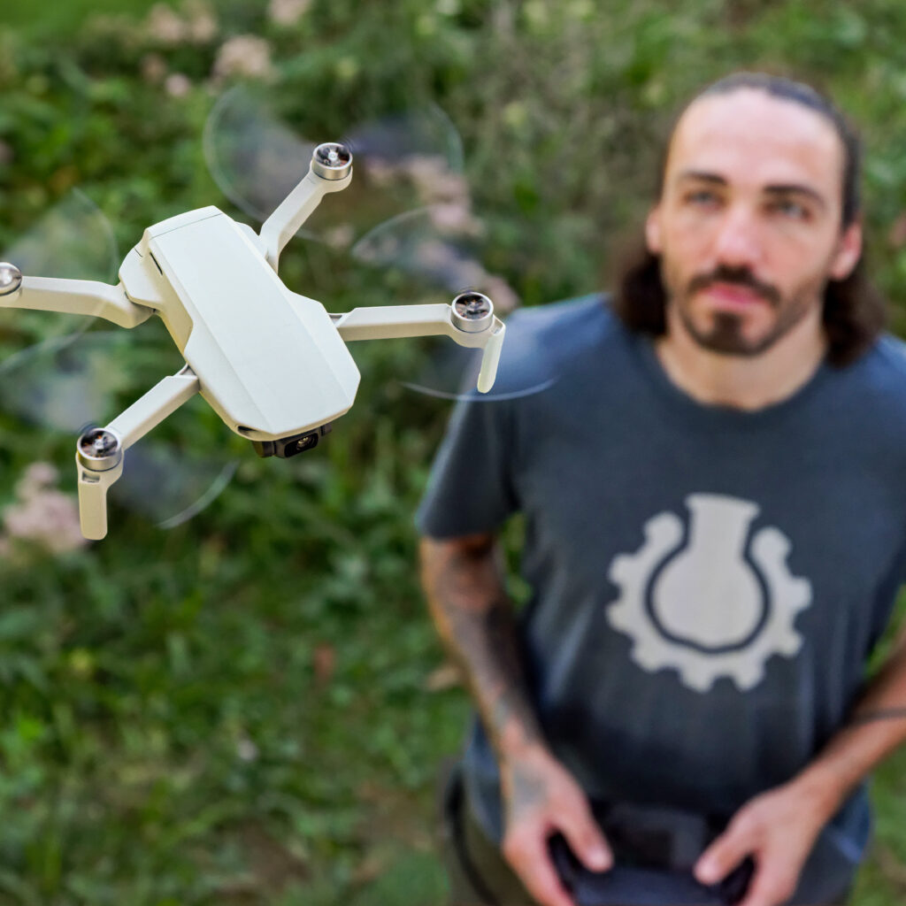
As a passionate GIS-expert, my job is to organise and analyse your spatial data. I will also collect data in the field in any terrain – either on foot or by drone. My aim is finding creative solutions with no limitations regarding methods of data collection and analysis.
I use OpenSource-software for as many operations as possible. This allows me to stay independent, flexible and unrestricted while working on sustainable solutions. Teaching about this kind of software is also something I enjoy offering to my clients.
Bringing along experience and love for ecology and nature conservation makes me a qualified partner in those fields. But I am just as excited to work on GIS- or drone-projects in any field or industry.


