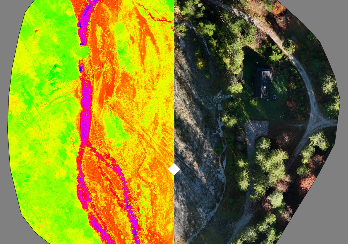
Below you can see the result of a drone image taken with a multispectral camera. A high-resolution orthomosaic with a resolution of around 2 cm was created from the true-color photos. The NDVI (Normalized Difference Vegetation Index) was calculated using the additional images in the multispectral range (specifically: near infrared and RedEdge). Both results can be viewed below – the view can be changed using the slider in the middle.

